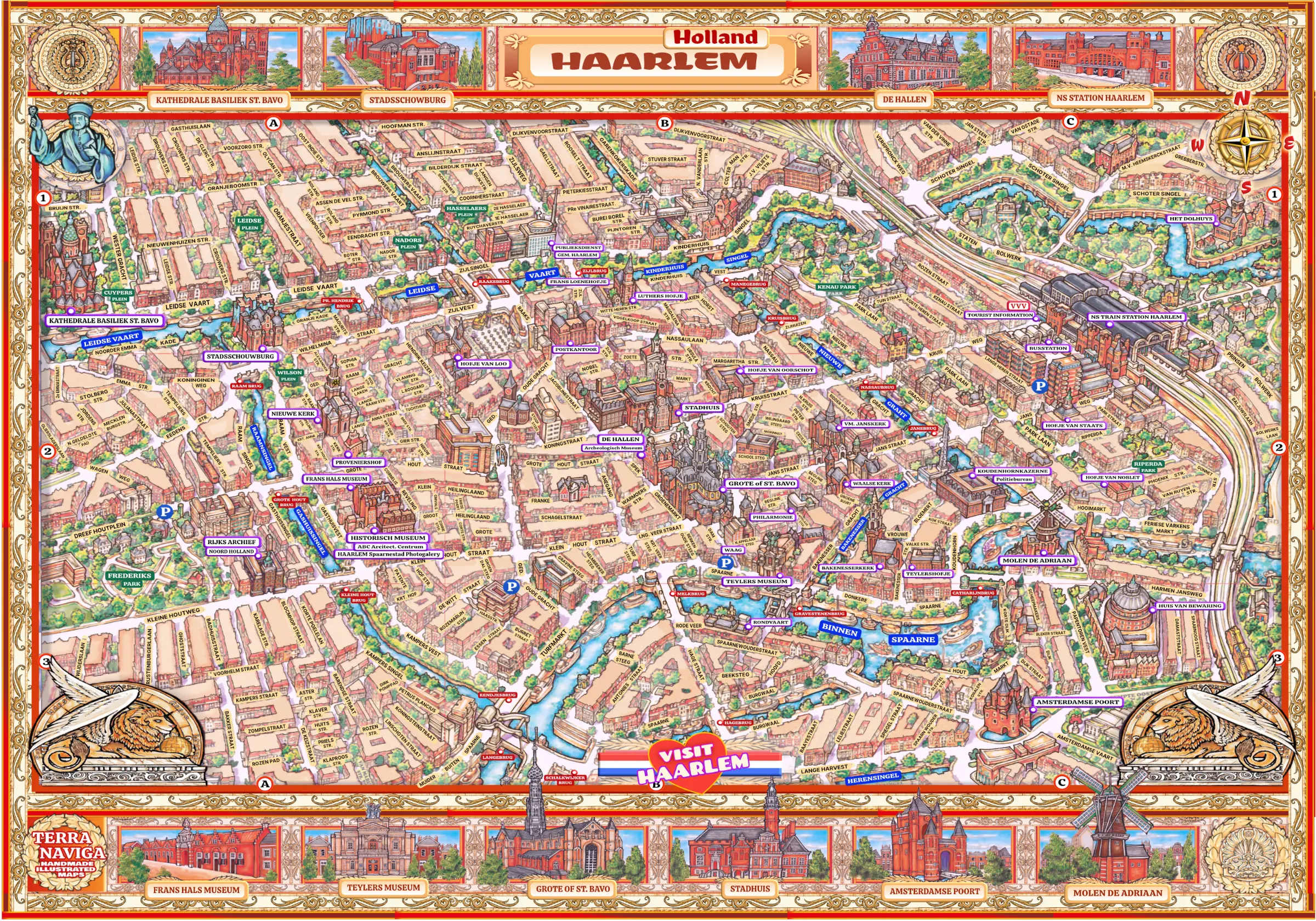
Embark on a visual journey through the enchanting city of Haarlem with our exquisitely Illustrated Haarlem City Map. Designed to captivate and guide, this map is not just a navigational tool; it's a masterpiece that brings the city to life through intricate illustrations. Wander through the cobblestone streets and along the scenic canals as the map unveils iconic landmarks, cultural gems, and the unique character of Haarlem.
Whether you're a local seeking new discoveries or a visitor eager to explore, our Illustrated Haarlem City Map is your companion to the city's rich history and contemporary allure. Immerse yourself in the artistic details that grace each corner, offering a seamless and delightful way to experience Haarlem's vibrant atmosphere. Let this beautifully illustrated map be your gateway to an enchanting journey through the heart of Haarlem.
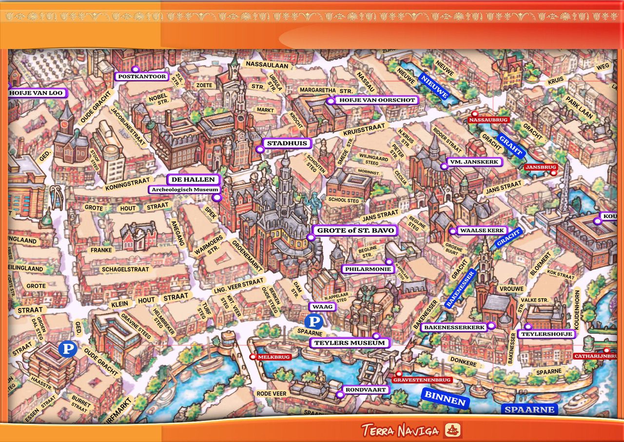
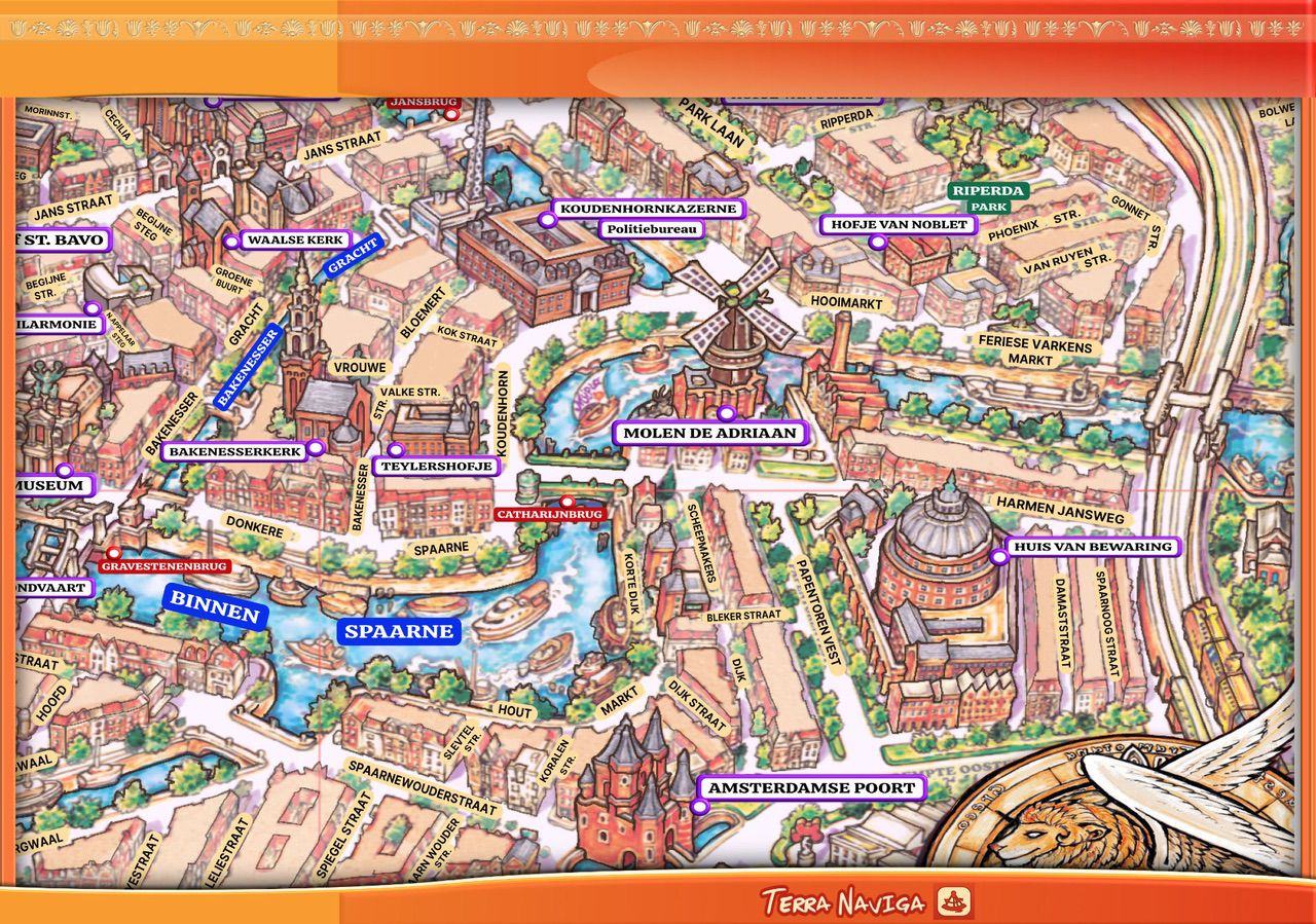
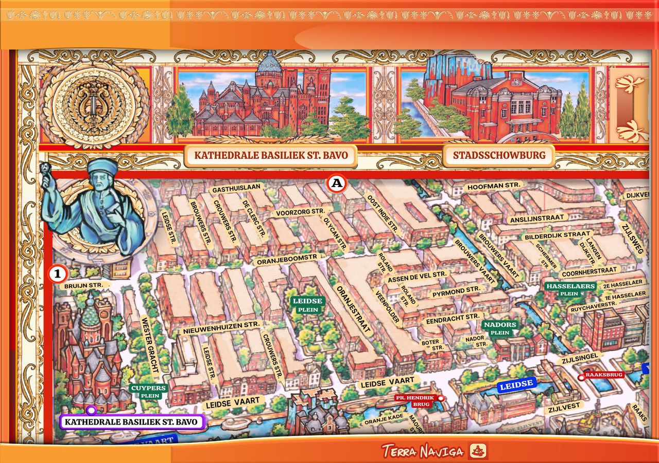
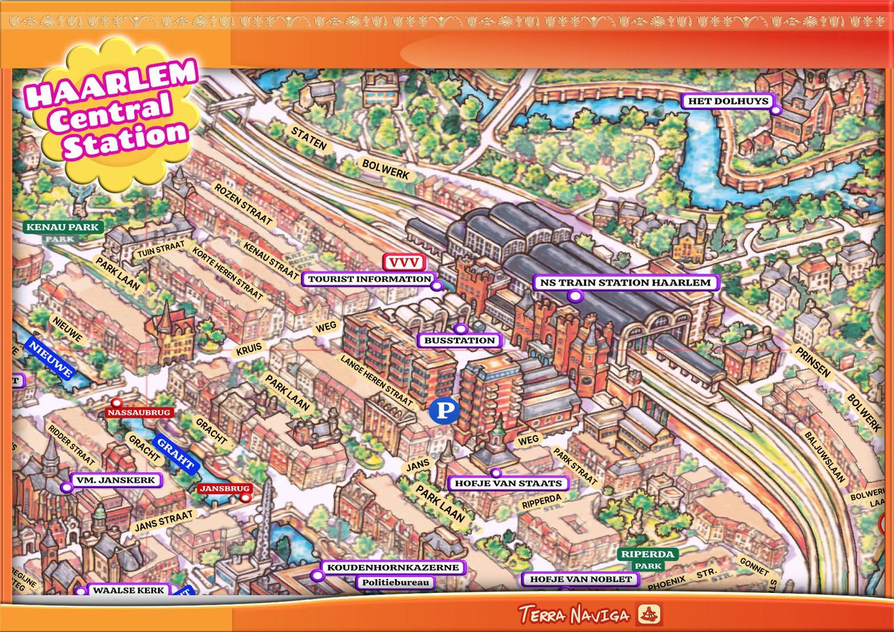
Haarlem offers a refined blend of history and everyday charm, creating an authentic and intimate experience for visitors. Shaped during the Dutch Golden Age, the city reveals its legacy through elegant architecture, cobbled streets, and landmarks such as the Grote Kerk, the Frans Hals Museum, and the windmills along the river Spaarne. With the illustrated Haarlem map, visitors can effortlessly navigate the compact historic centre, uncover hidden courtyards, and appreciate the city’s artistic and architectural heritage in a clear and engaging way.
Today, Haarlem stands out for its relaxed atmosphere and high quality of life, offering a balanced alternative to larger urban destinations. The illustrated map guides visitors through lively cafés, local markets, galleries, and diverse dining spots, while also connecting the city to nearby beaches, dunes, and scenic cycling routes. Easy to use and visually inviting, it enhances exploration at every stage, transforming Haarlem into a destination that is not only discovered, but genuinely enjoyed.
Haarlem map is a classic prospective view of 45 degree angle and it is a handmade full illustration of the wider center of the city.