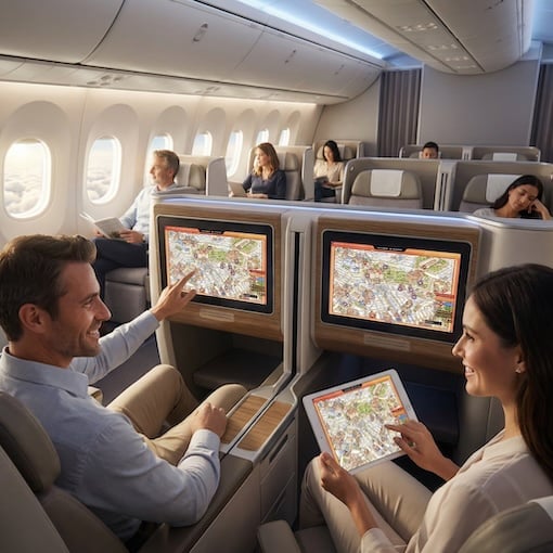
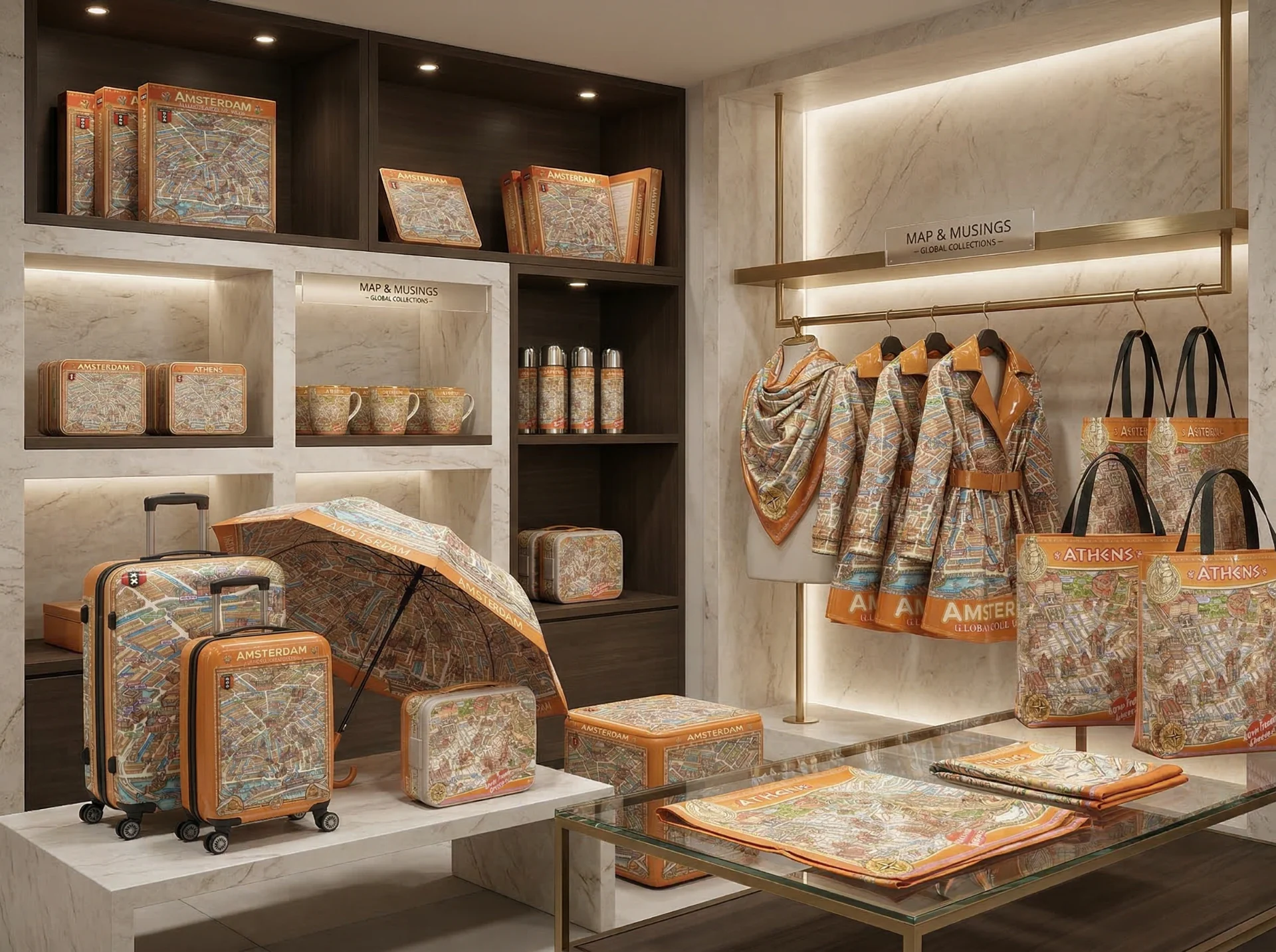
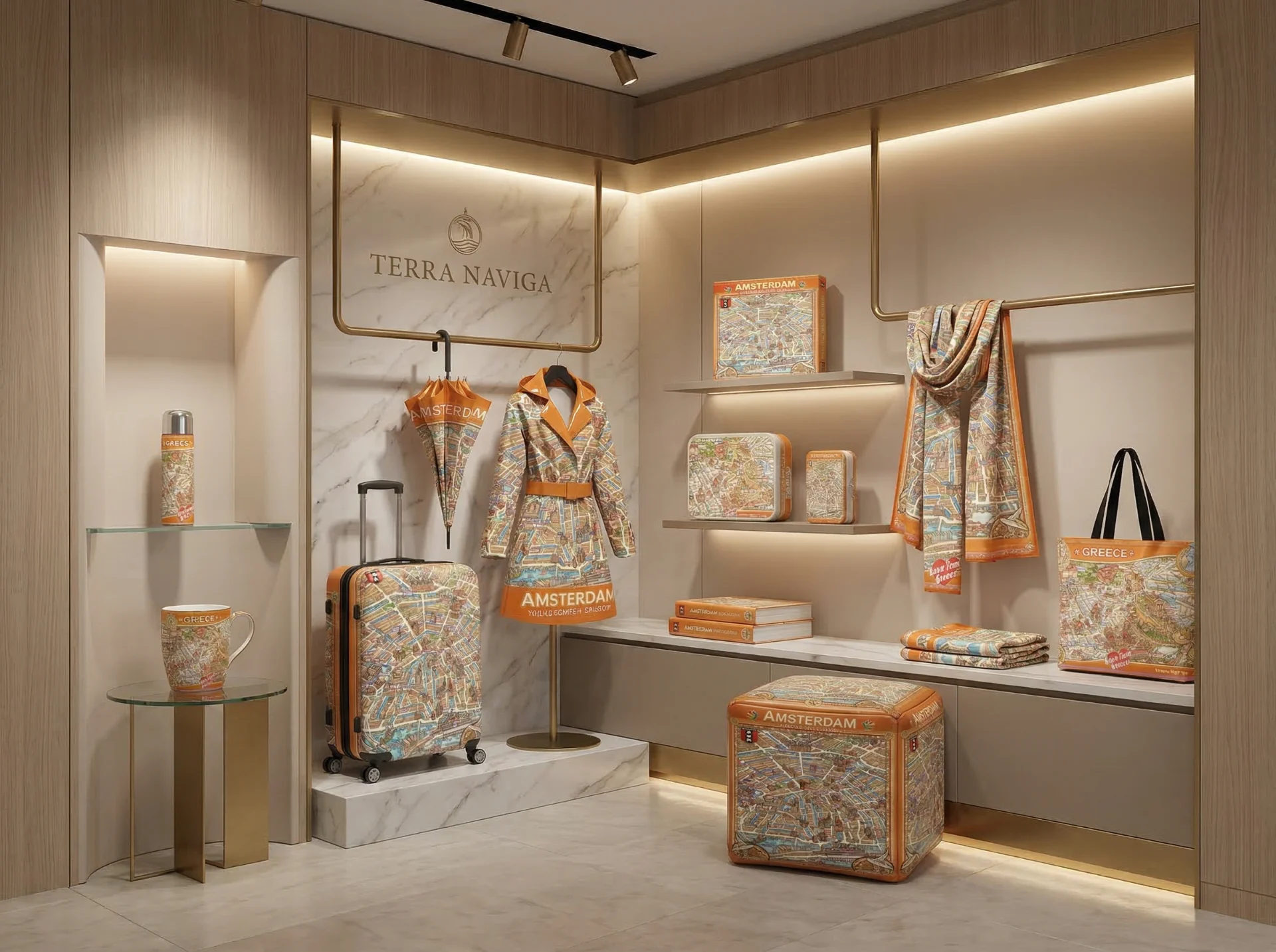
Strategic Partnerships to Deliver Branded Destination Discovery Experiences.
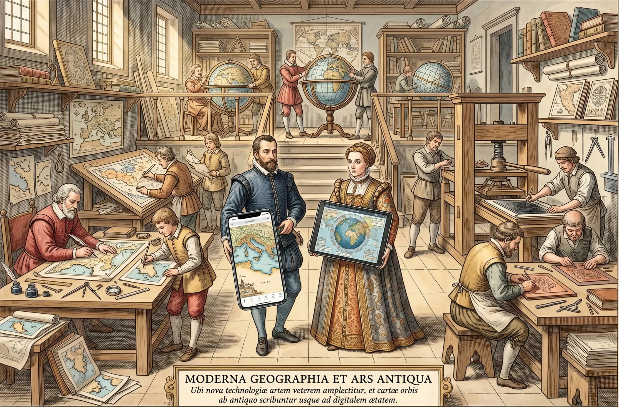
Conceptual visualisation AI-generated by Artlist.
HOTELS • AIRPORTS • MUSEUMS • INFO CENTERS • SHOPS
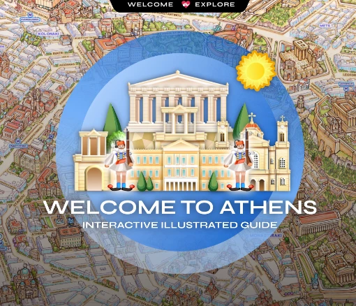
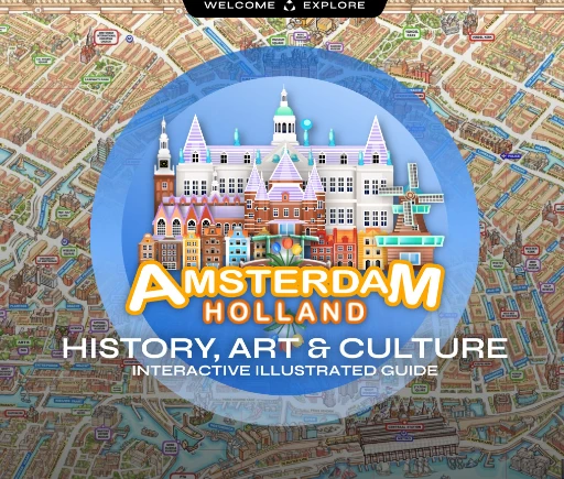
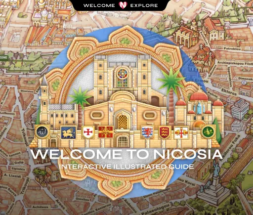
By combining visual clarity, cultural storytelling, and navigational insight, TERRA NAVIGA’s products are valuable strategic asset for airlines, airports, tourism organisations, and other professionals across the travel and hospitality industries.
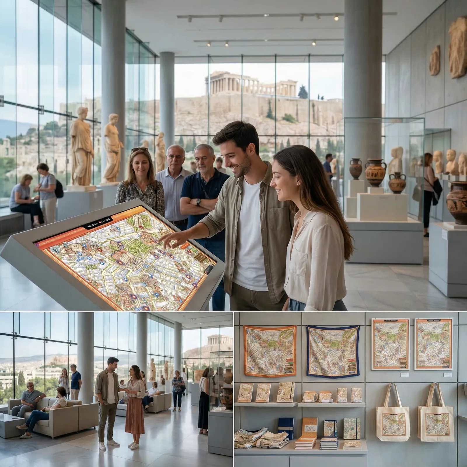
Through a flexible white-label licensing model, partners can integrate their own branding, highlight affiliates and sponsors, provide post-booking destination guides, install interactive lobby touchscreens, and offer printed map editions as complimentary guest gifts—while easing concierge workloads.