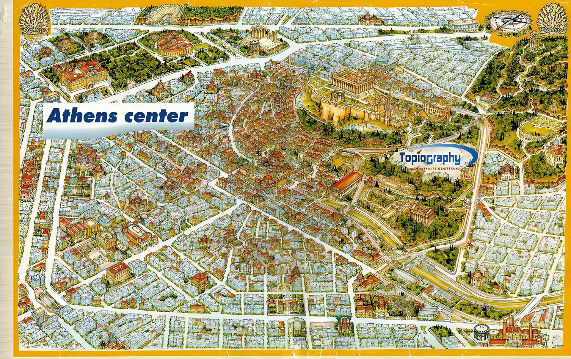
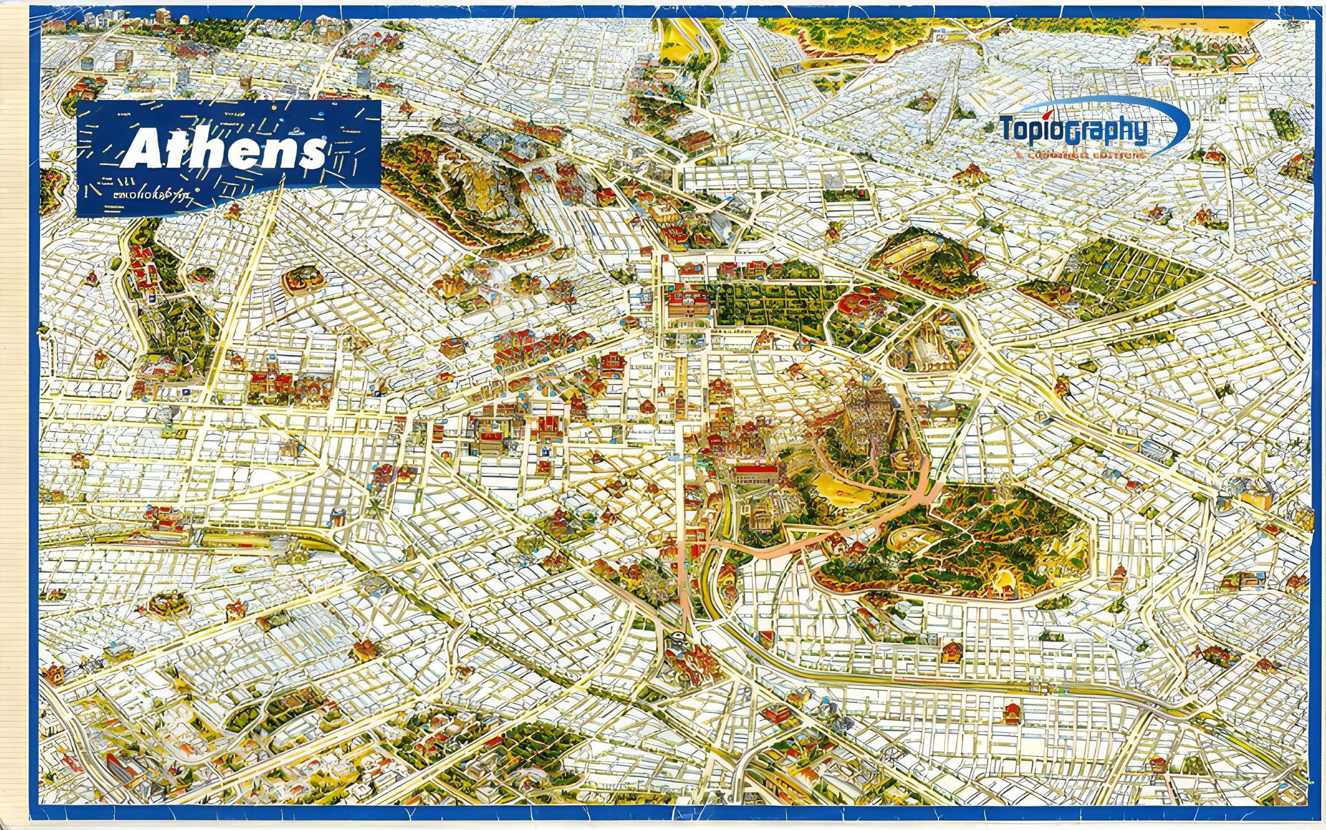
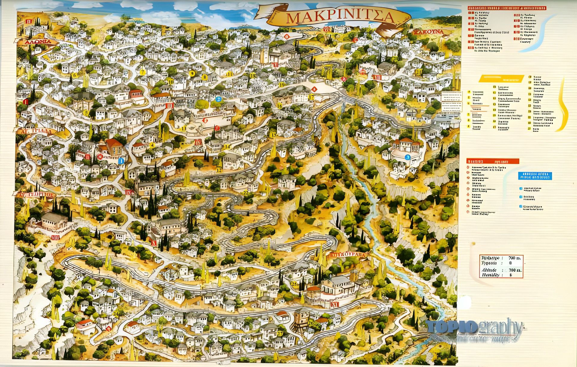
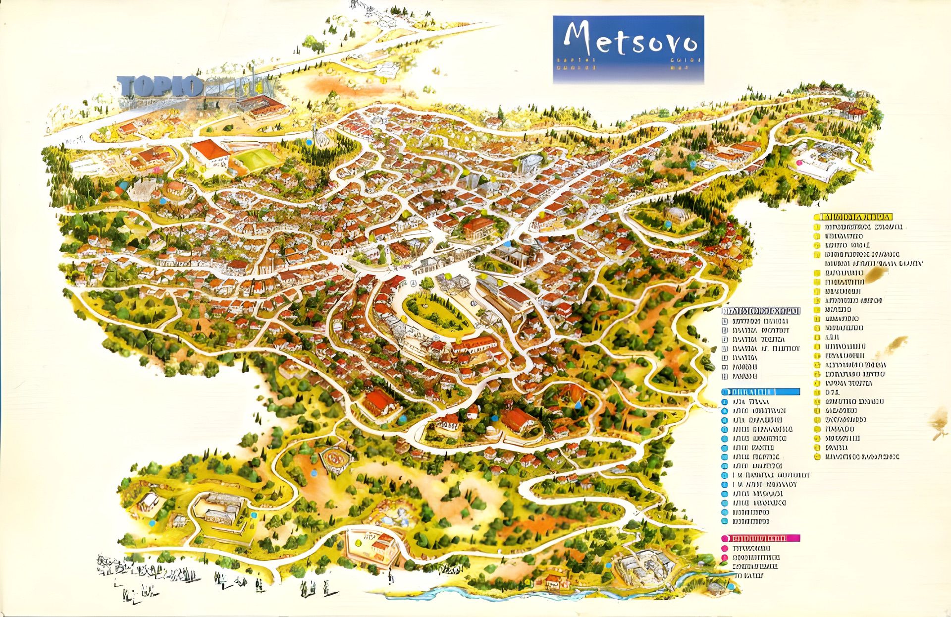
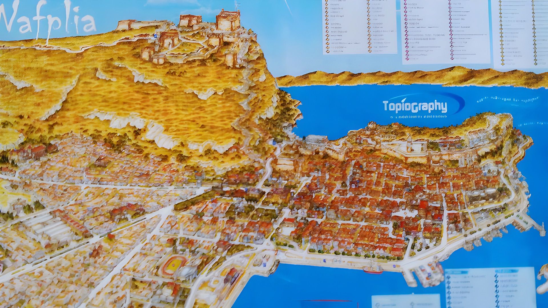
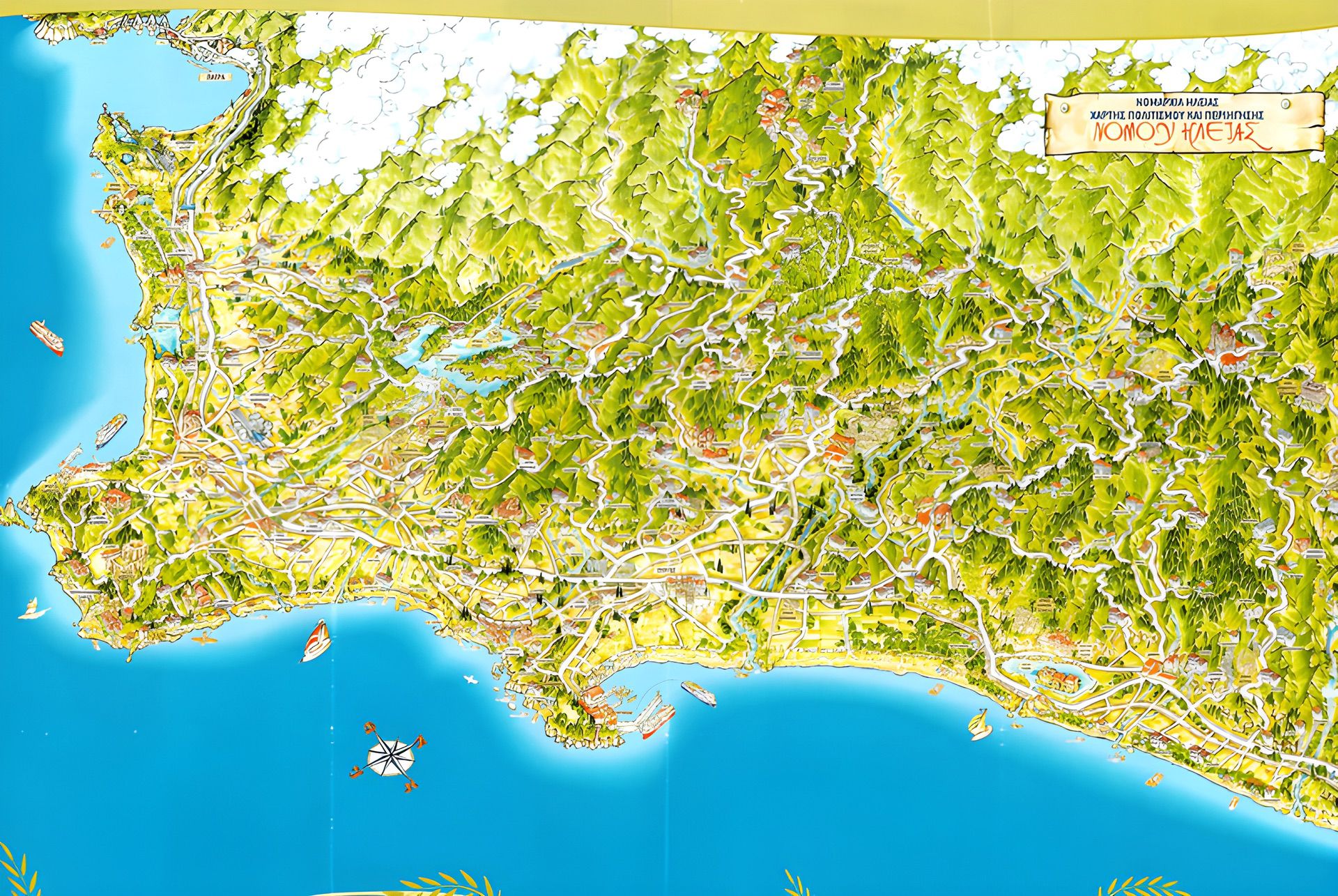
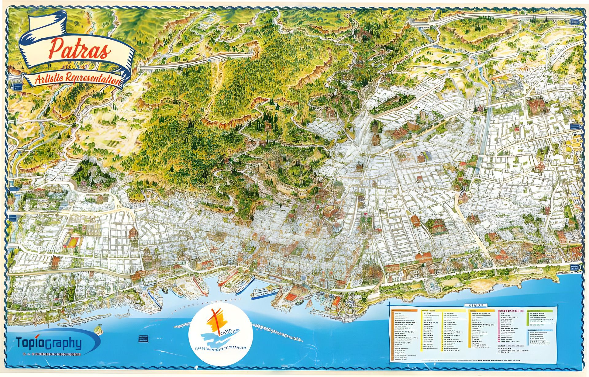
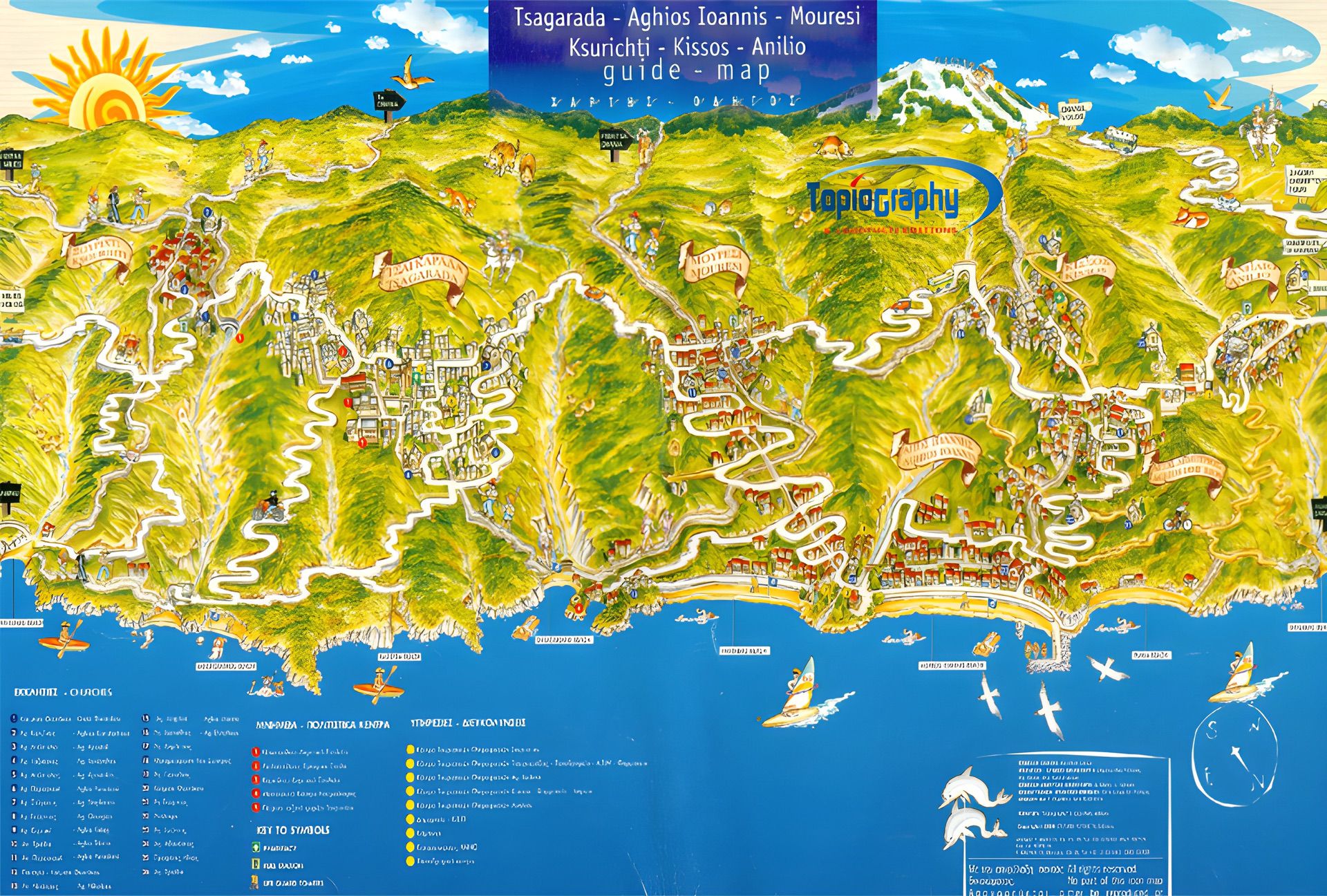
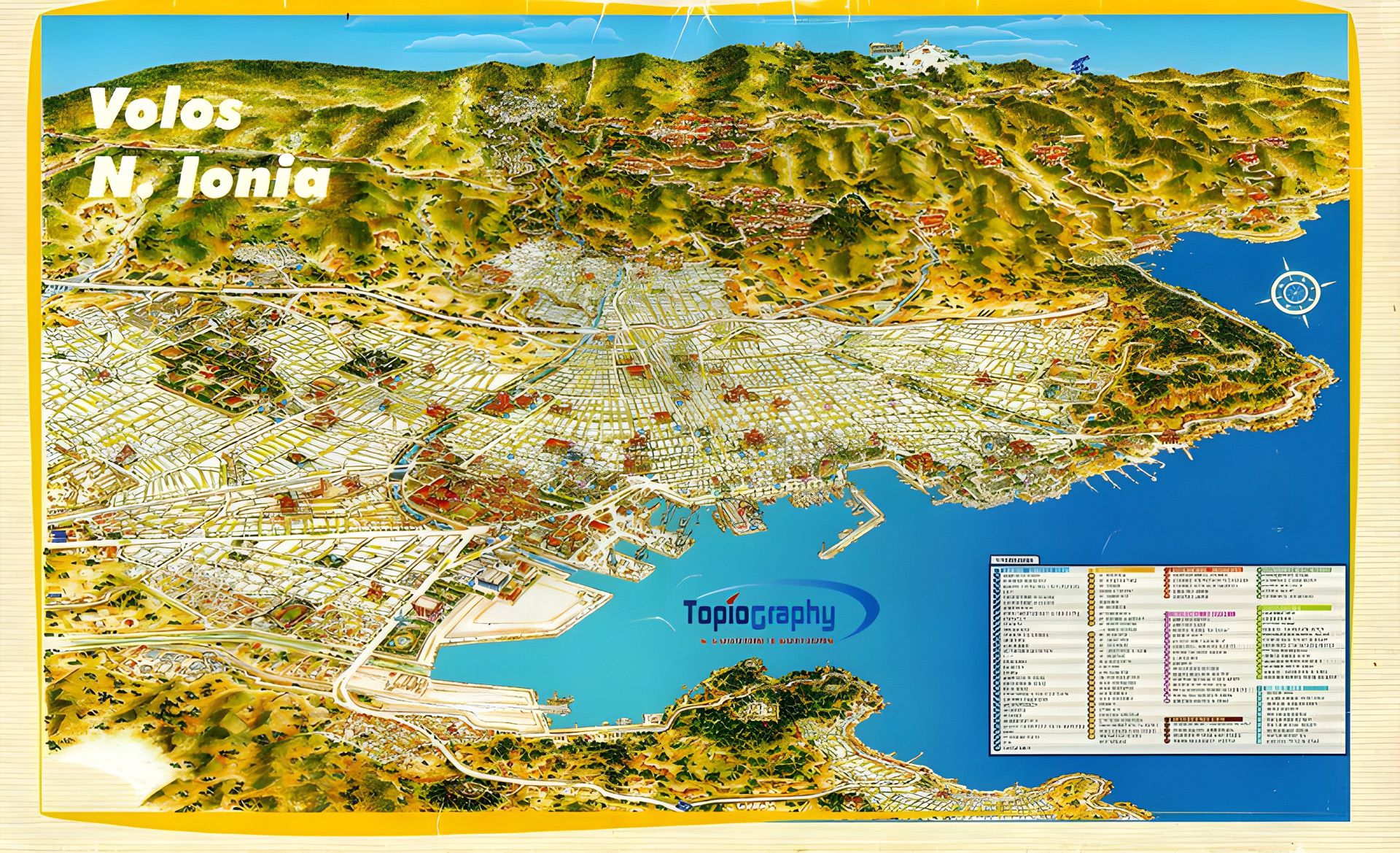
Creating a Terra Naviga map is meticulous and time-intensive, combining traditional techniques with modern tools. Key stages include:
* Exploration & Survey: Walking the streets, photographing, sketching, and filming the area for precise topographical accuracy.
* Pencil Drafting: Integrating all information into the first detailed map design.
* Inking: Locking in the lines and preparing for colouring.
* Colouring: Using watercolours, inks, and other media to bring the map to life, guiding the viewer’s focus.
* Digital Finishing: Scanning, refining, labelling, and preparing the map for print, special editions, or digital platforms.
The result is a visually stunning, highly accurate map that is both a practical guide and a work of art.