Clarity, Memory, and Connection
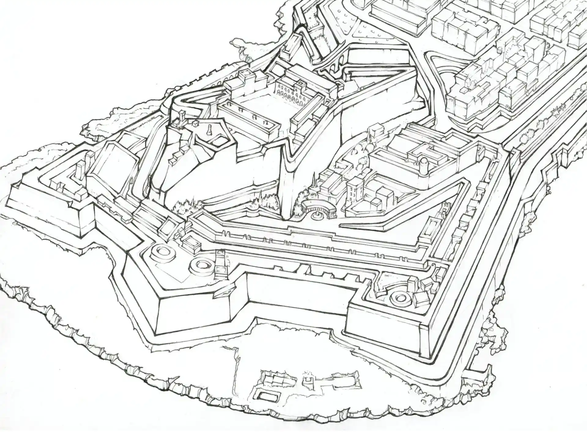
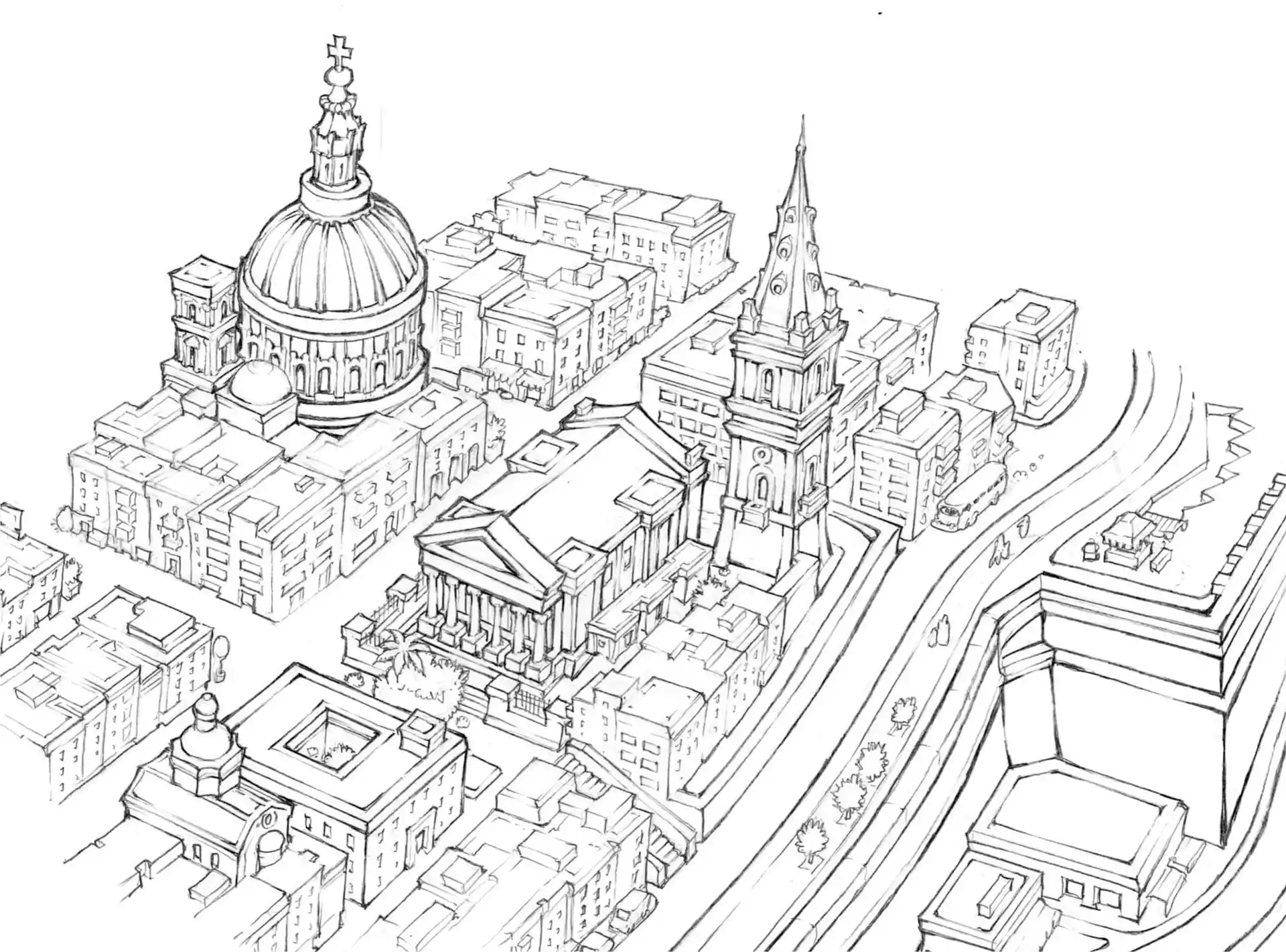
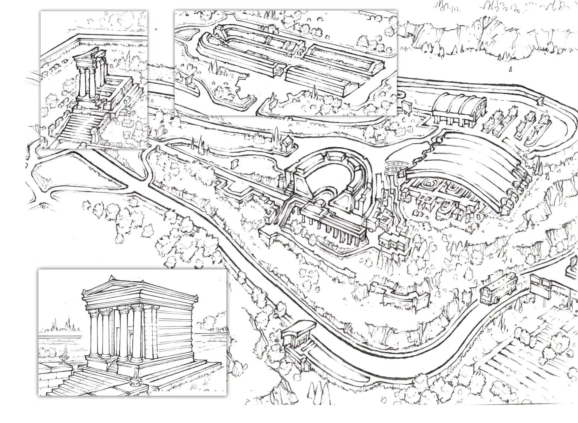
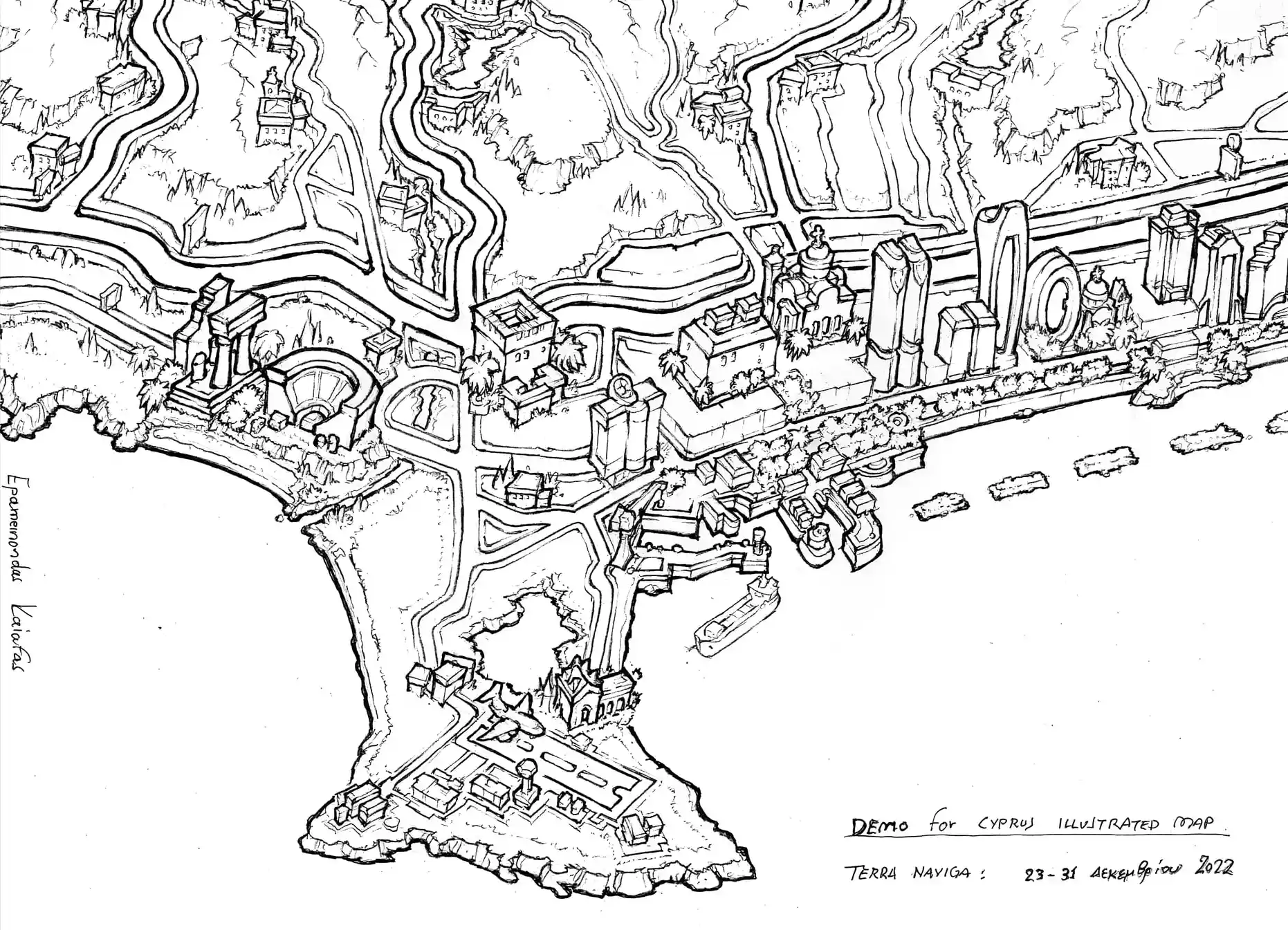
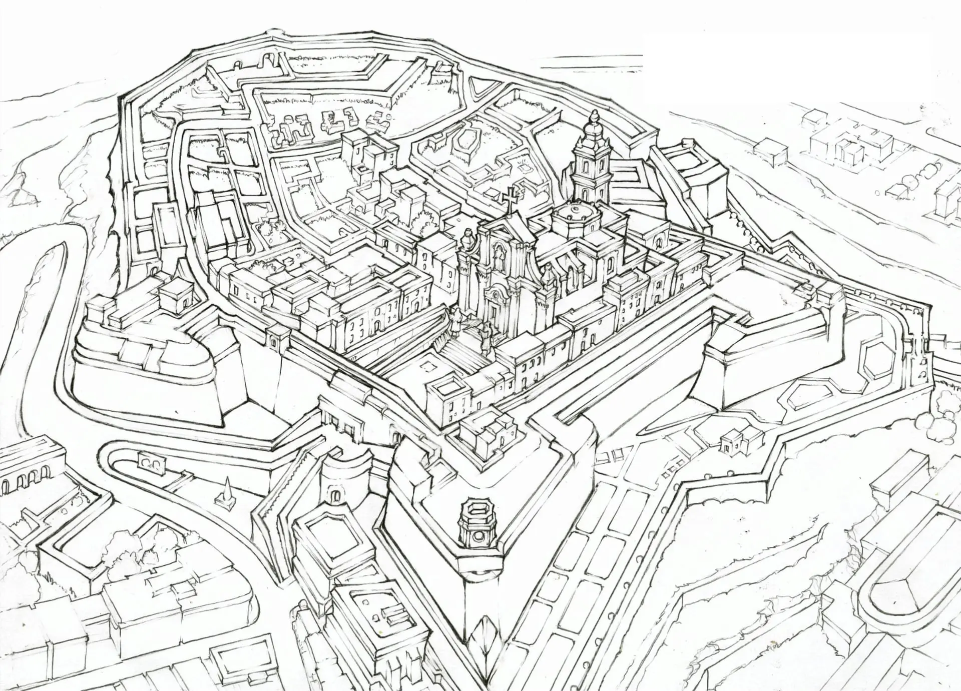
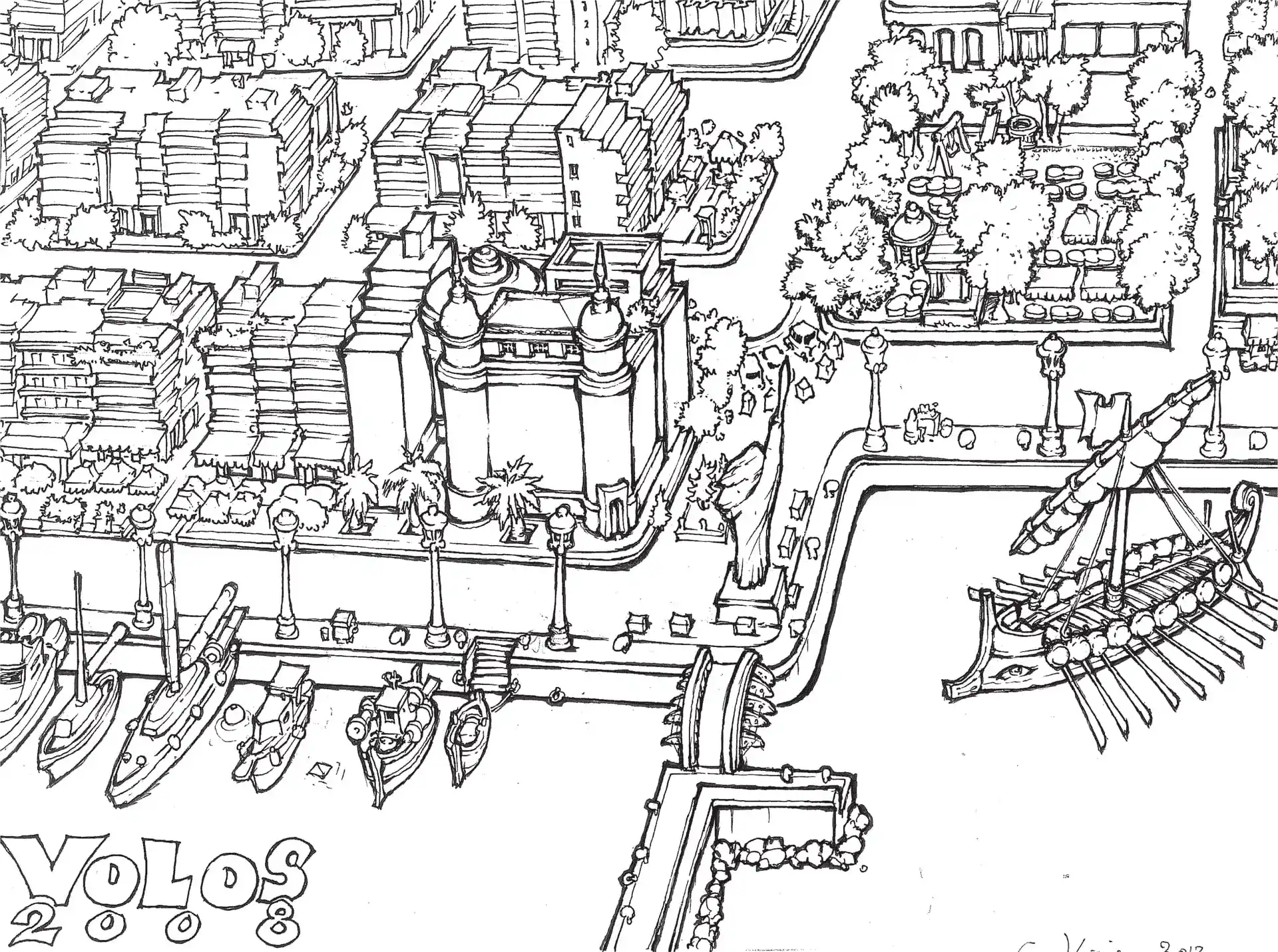
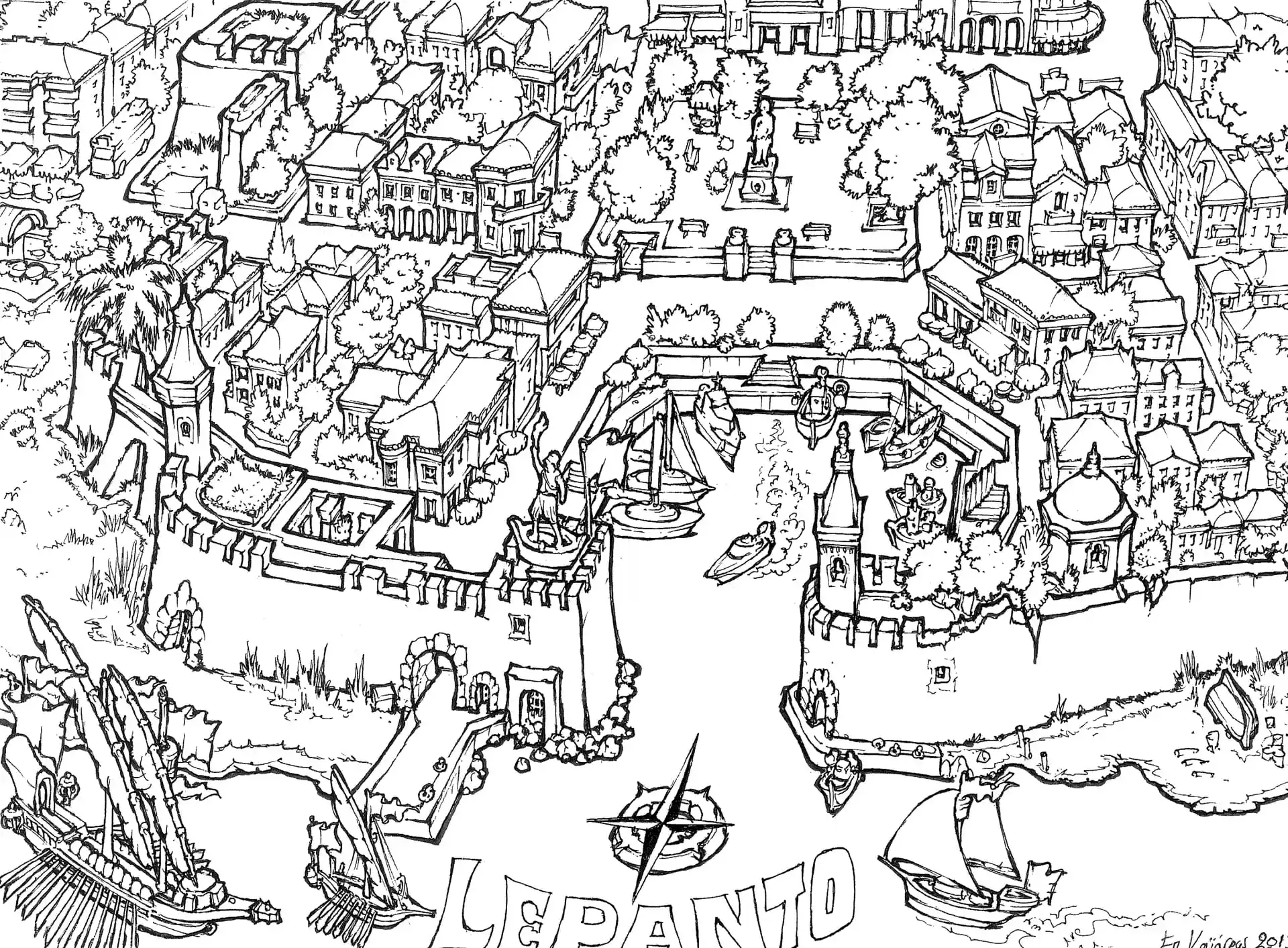
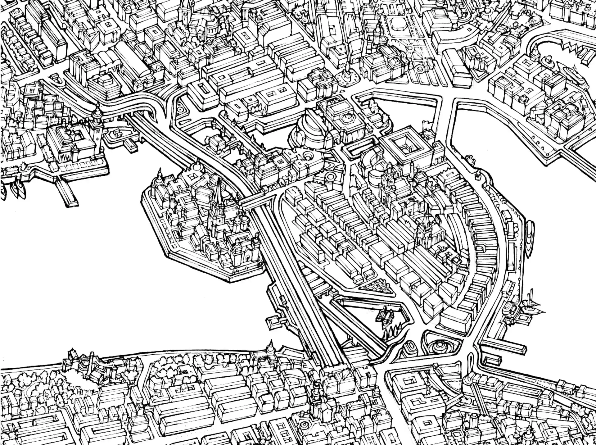
Three-dimensional illustrated maps offer a uniquely intuitive way to understand a city. By visually representing streets, landmarks, and landscapes in perspective, they make navigation easier and help readers quickly build a mental image of the place.
Beyond their practical value, they create an emotional connection between the viewer and the destination while preserving the character of the city for future generations—serving both as navigational guides and as enduring visual records of urban history.